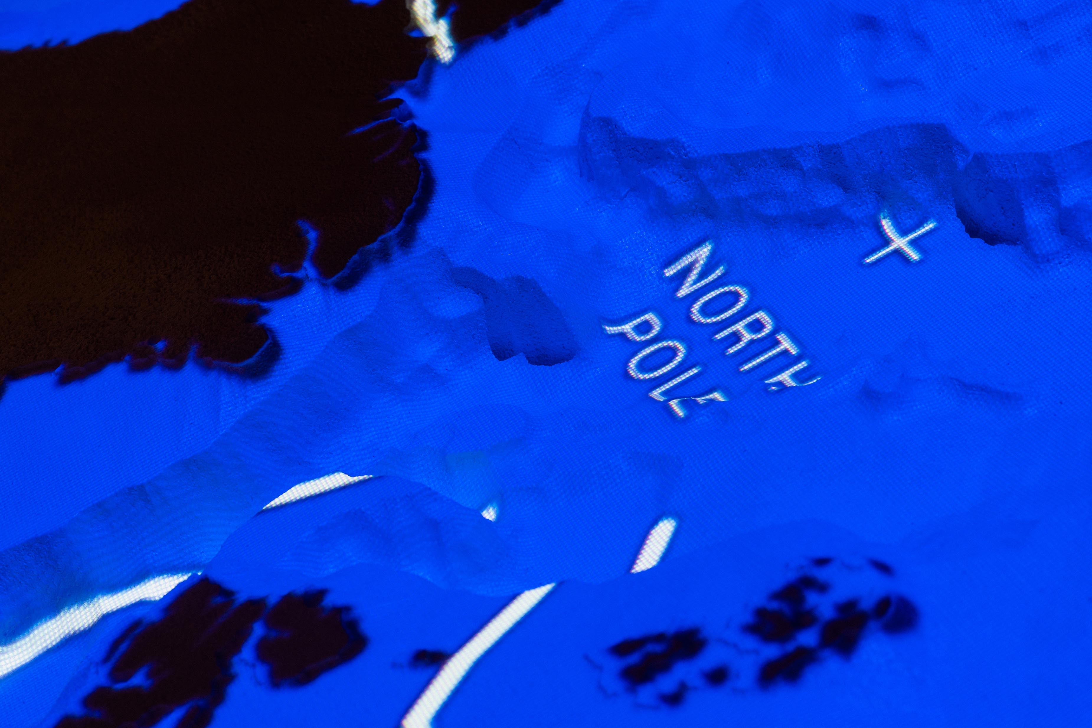
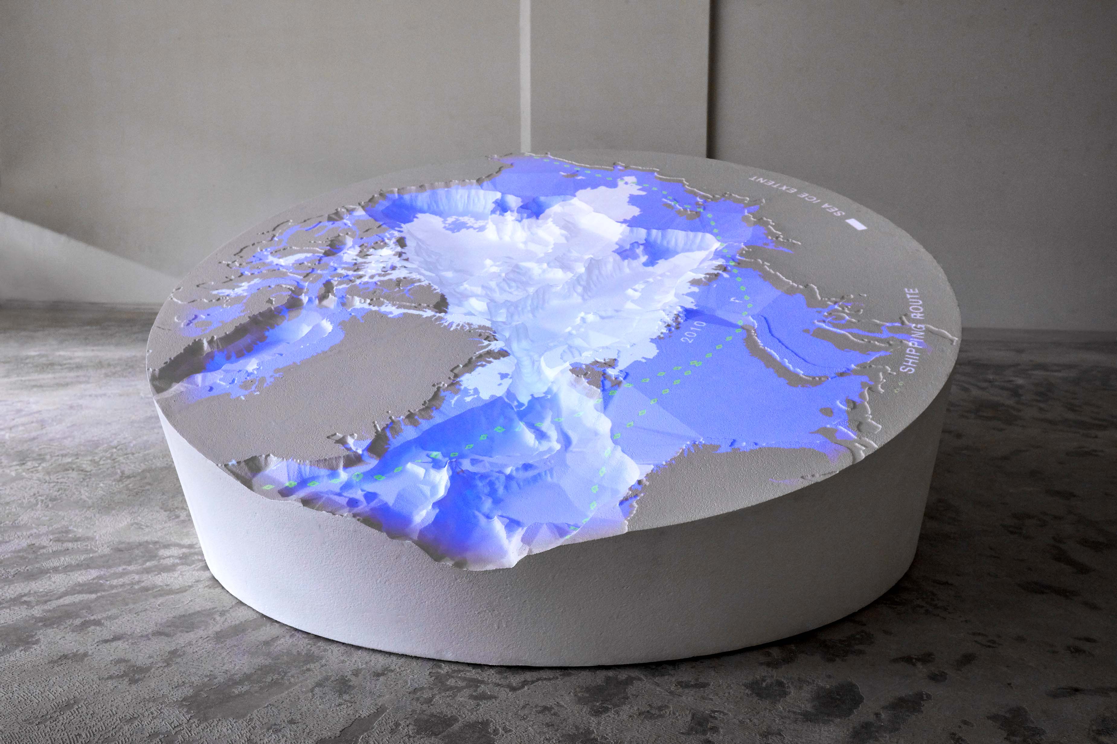
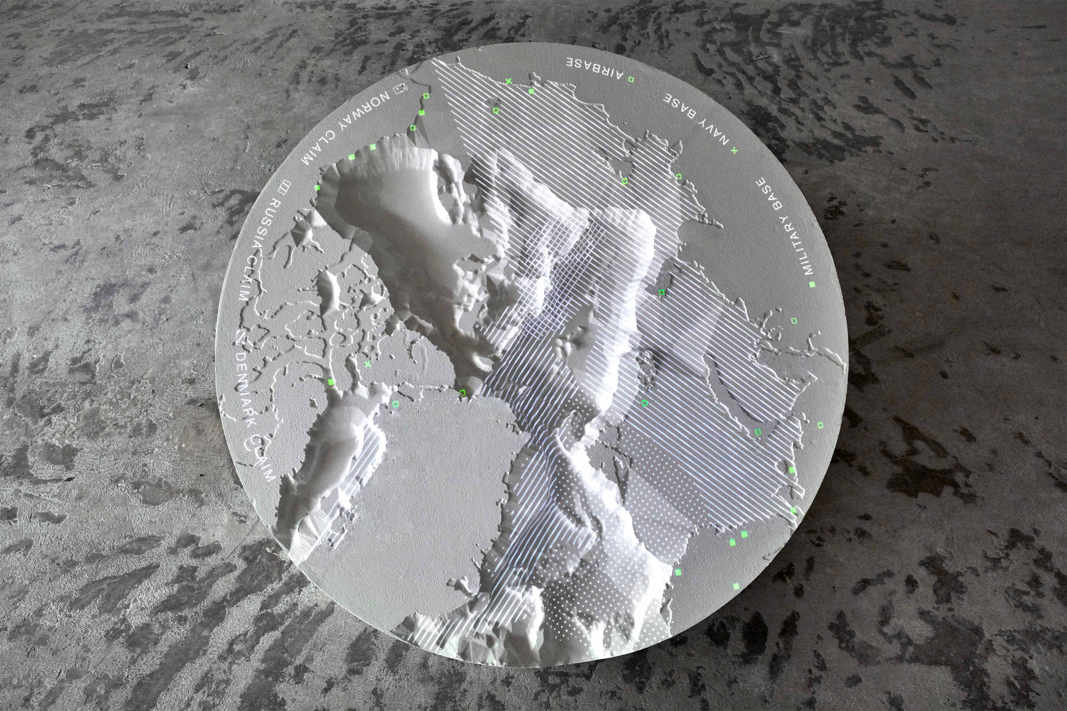
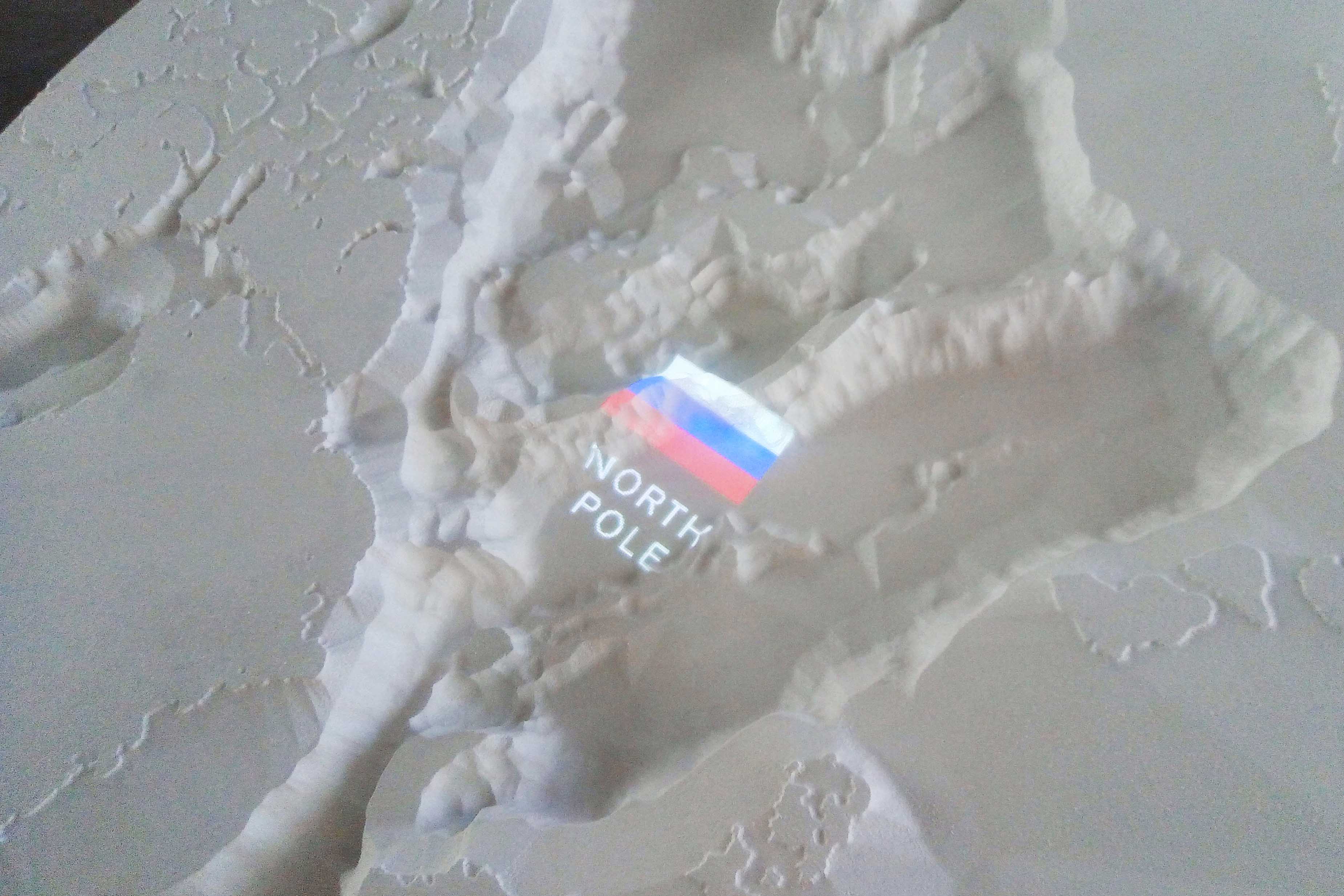
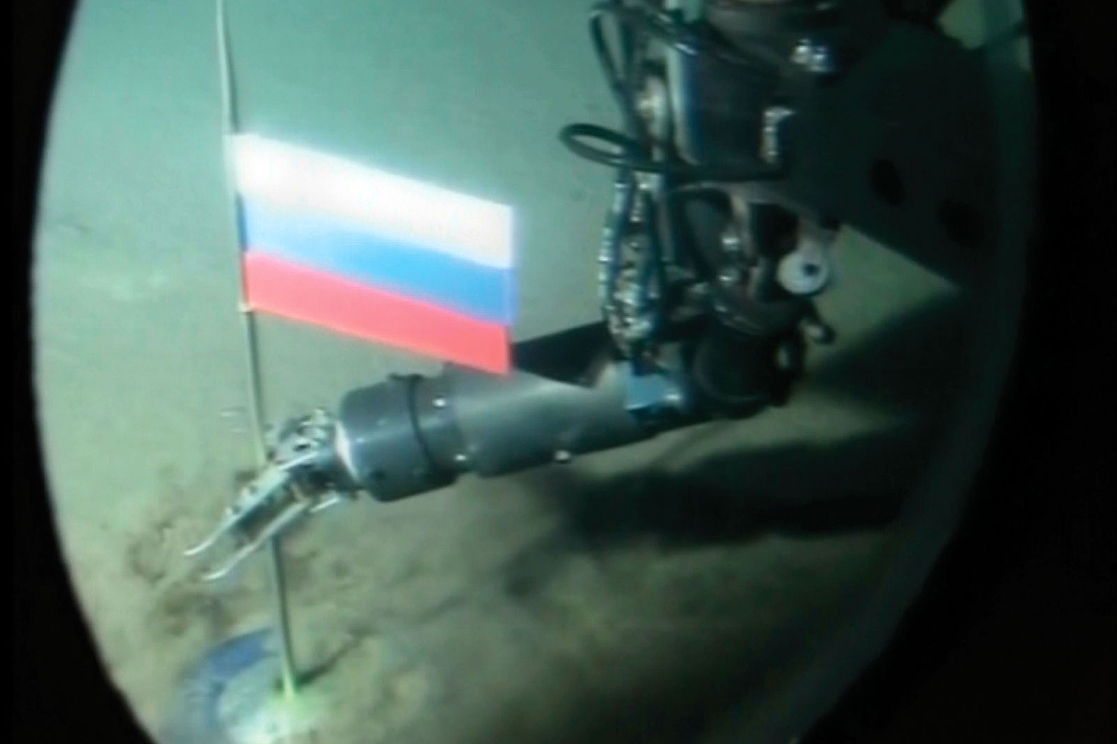
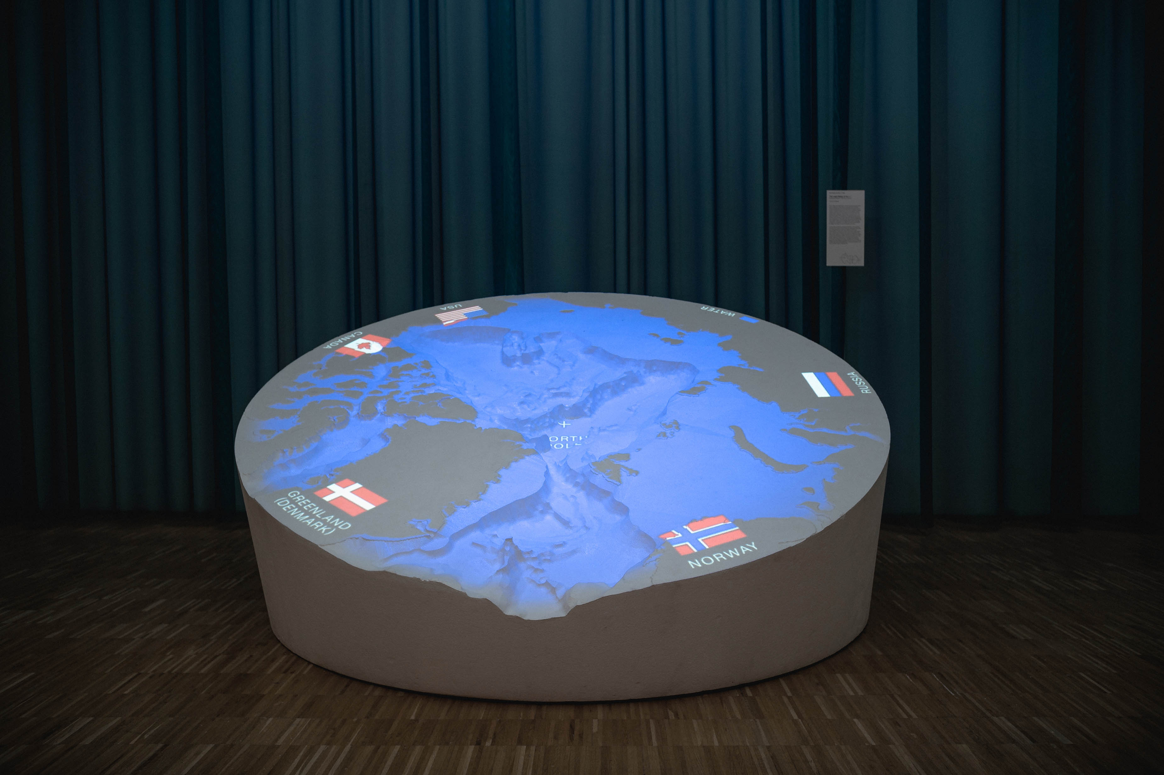
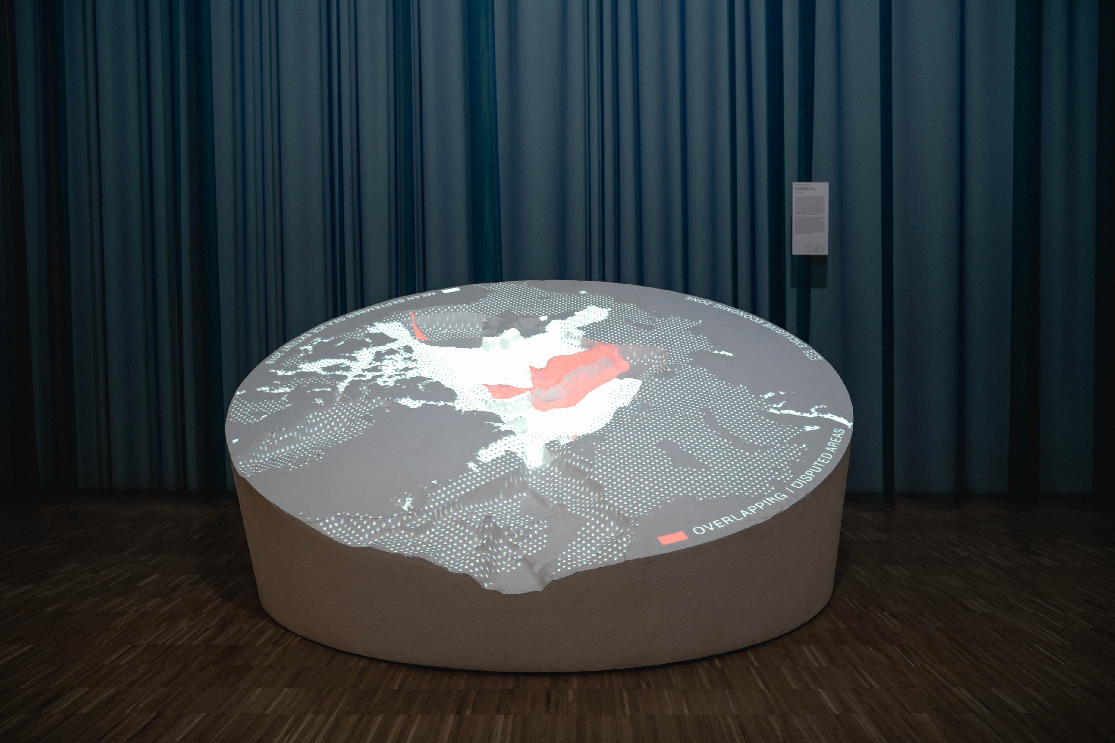
The Arctic is currently the centre of a contentious territorial dispute. The five Arctic nations—Russia, Canada, Denmark, Norway and the United States—all make their claims, sometimes as literally as planting a titanium flag at the bottom of the Ocean. The stakes are considered high: disappearing sea ice might uncover immense oil and gas riches for whoever marks the Arctic map first. But isn’t it in fact the ice, that has been declining by a shocking 50% since the late 1970s, which should be the urgent issue here?
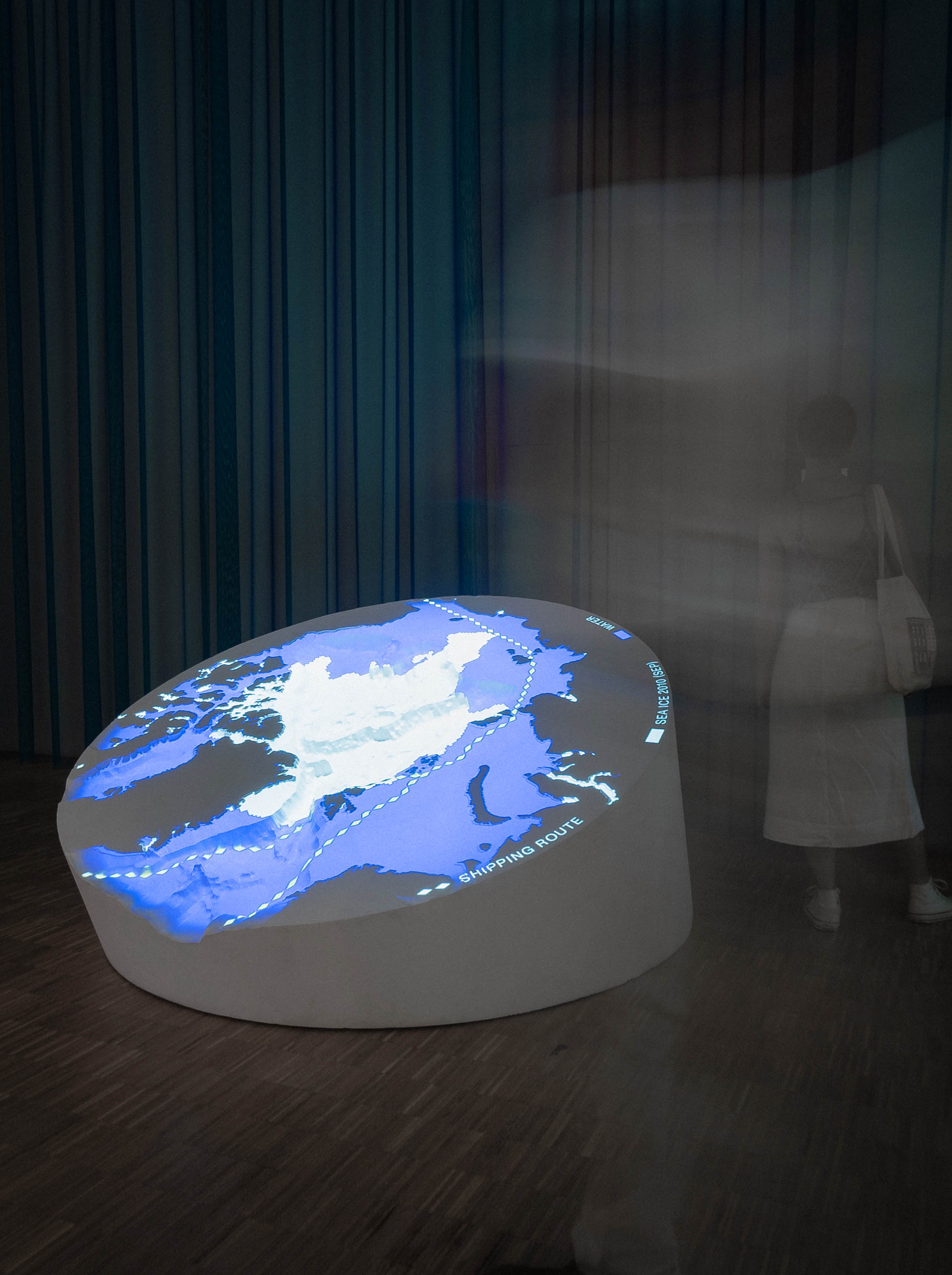
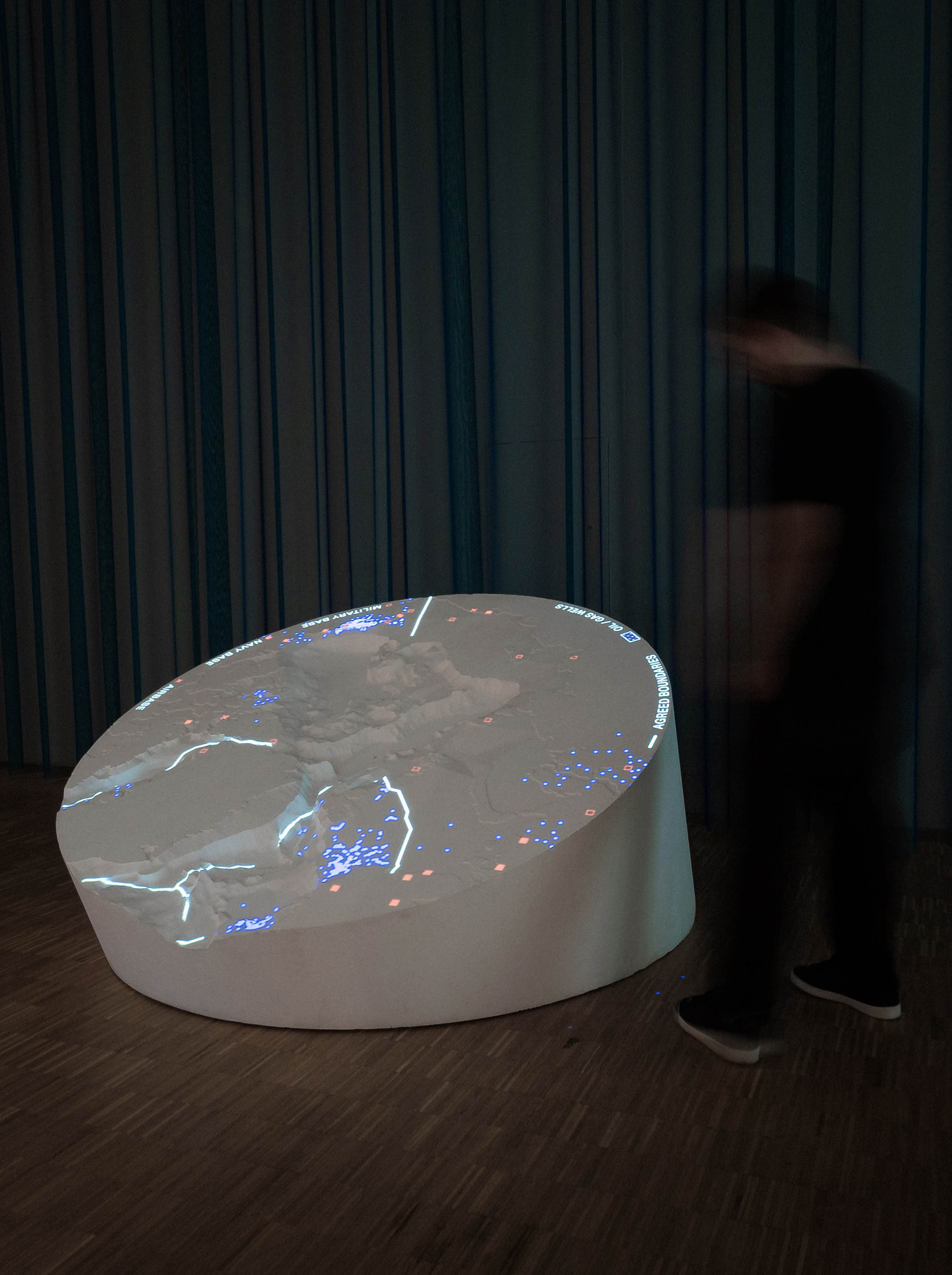
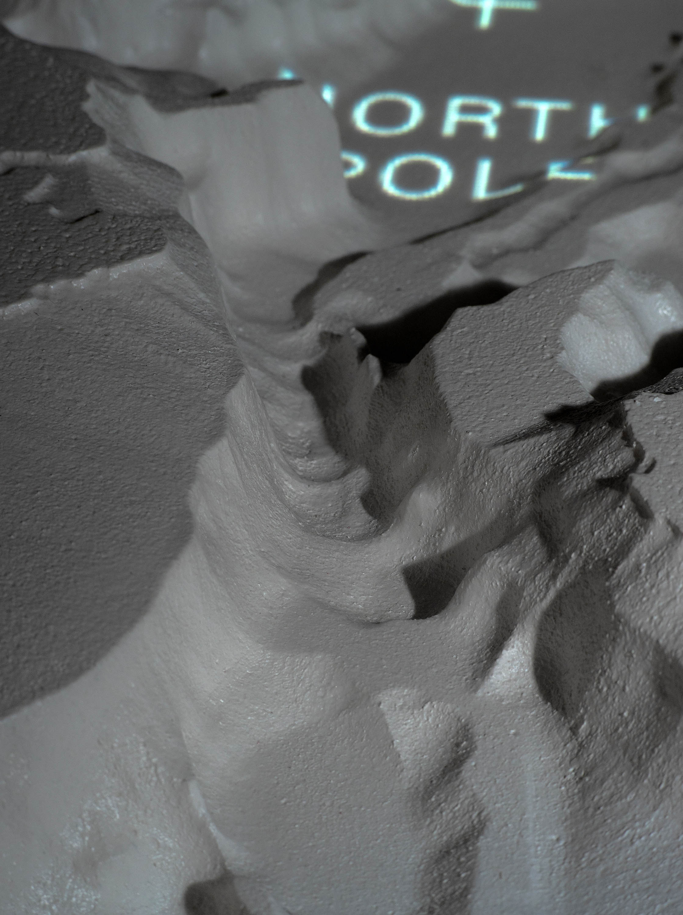
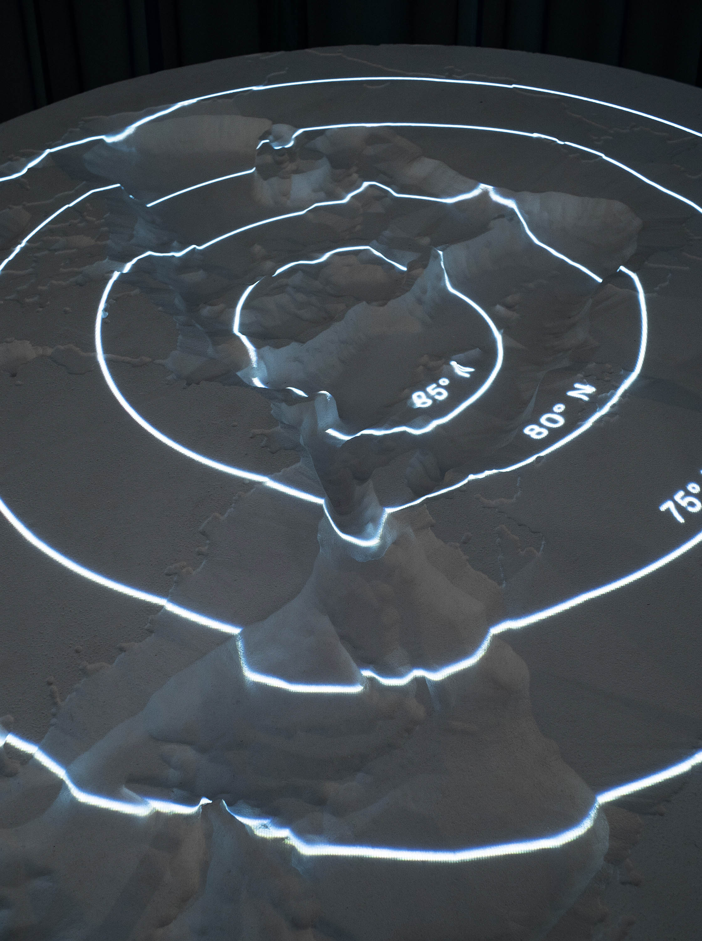
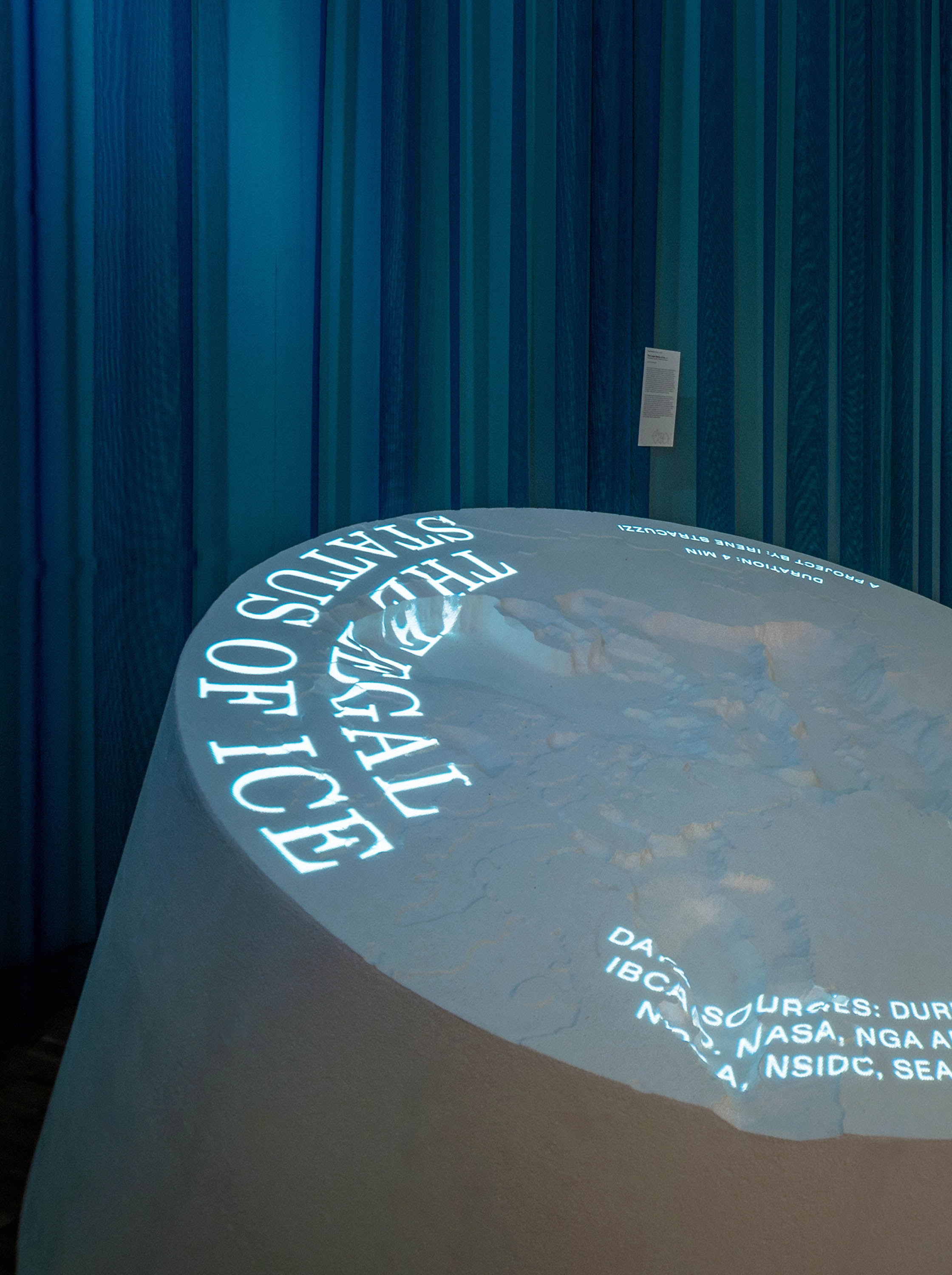
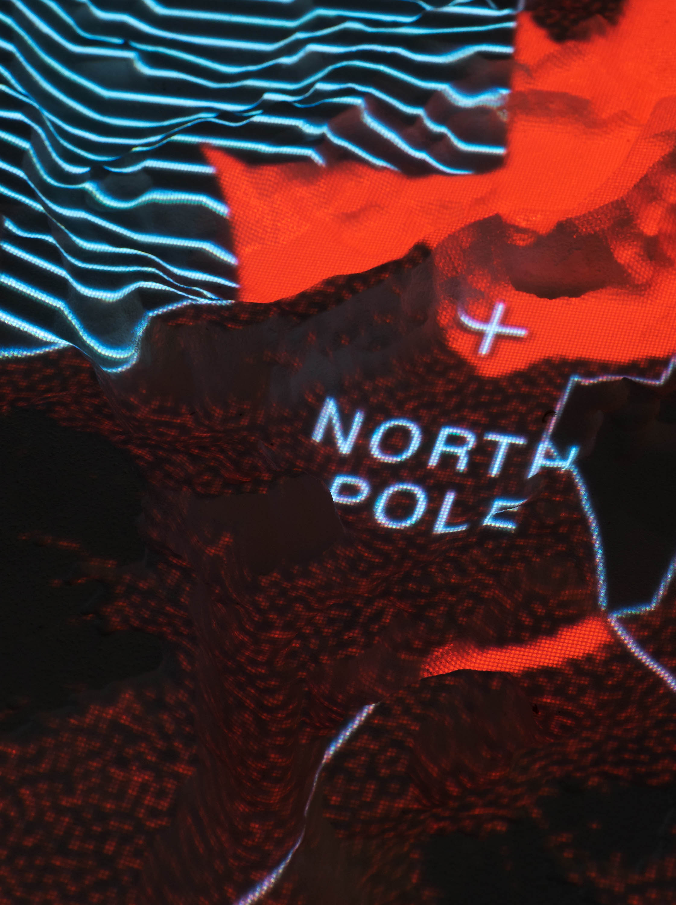
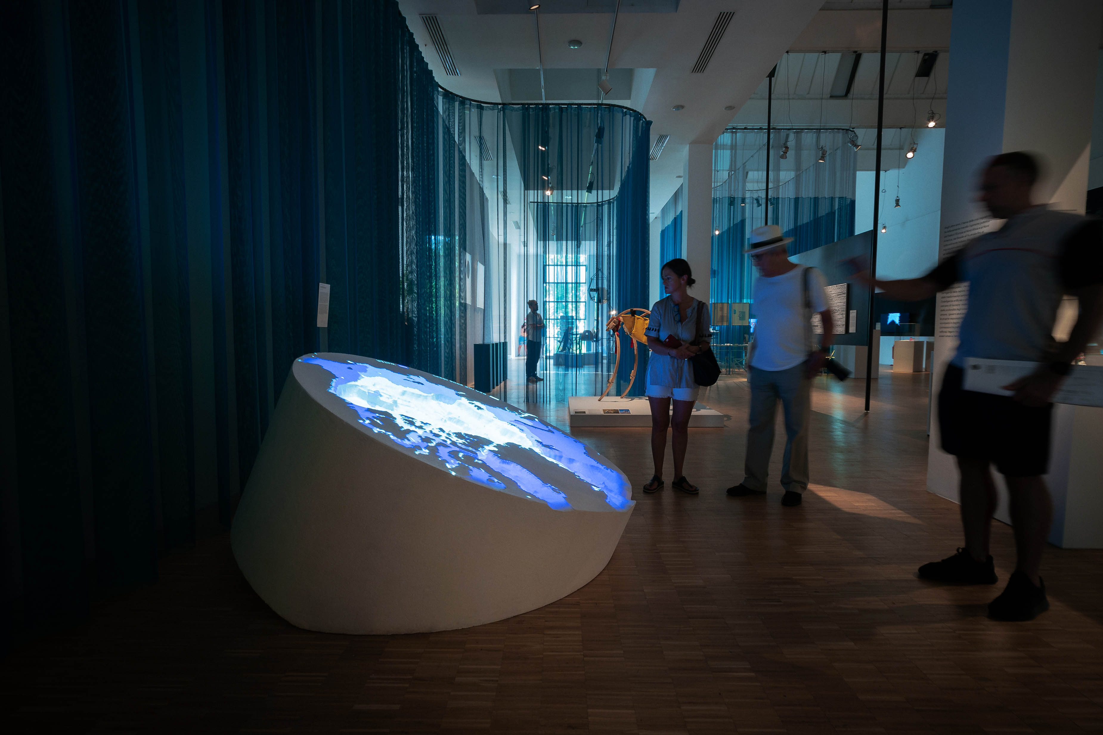
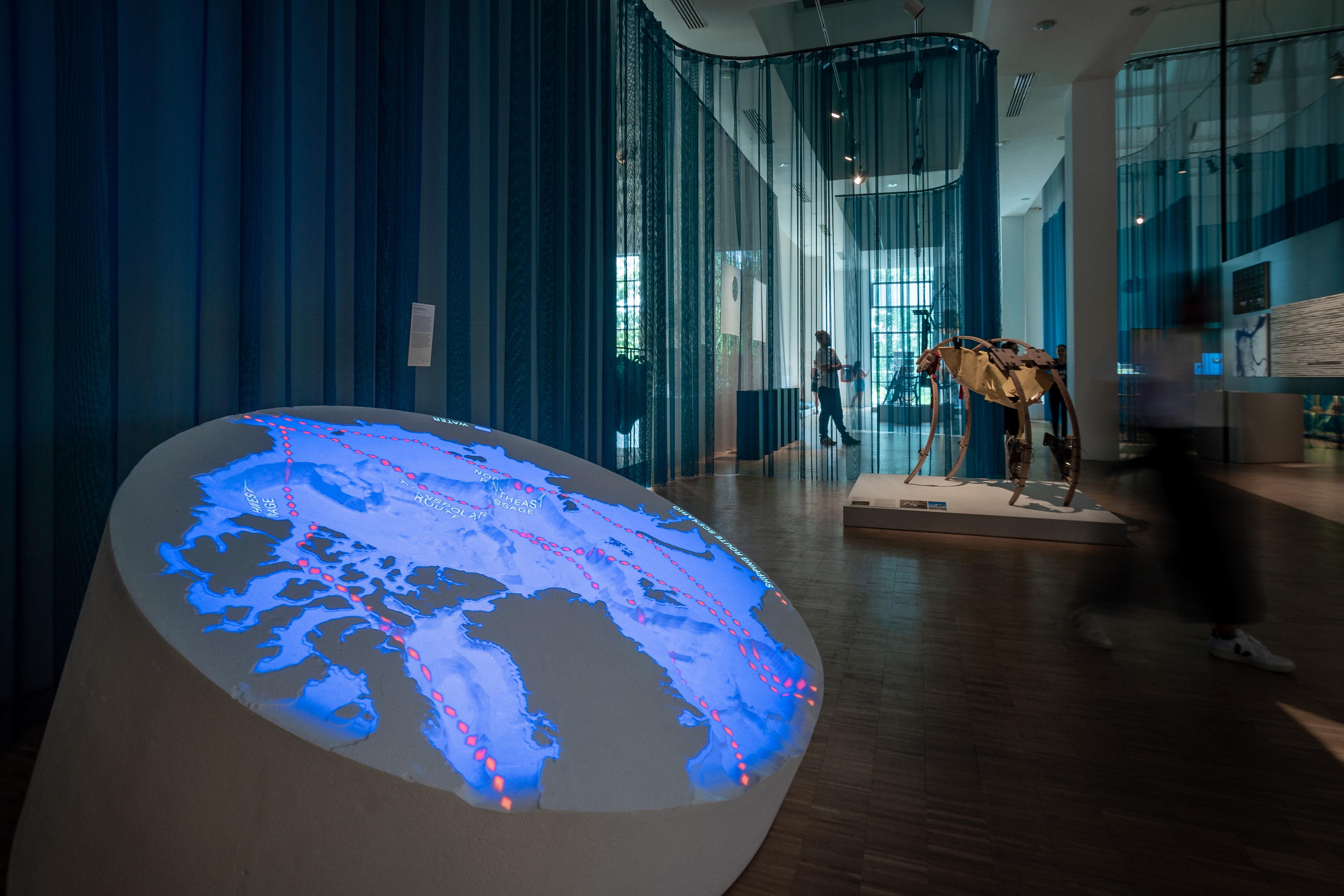
The installation visualises the race to the Arctic and all that is at stake in a huge 3D model, that explores the overlapping border claims by means of a projection. It compares these with geographic data of fluctuations in sea ice, oil and gas reserves, navigational routes and the geological formations of the seabed. As the Arctic nations are trying to acquire more data to substantiate their claims, the model shows what is already known, revealing the importance of holding valuable geographic and geologic information. Overall, the project aims to demonstrate the cartographic colonialism behind the dispute and questions the notion of sovereignty in a region which should be seen as a global commons.
2017–2019
EPS 200, projection
1850 × 1850 × 800 mm
Exhibited at Dutch Design Week 2017 (Eindhoven), XXII Triennale di Milano (Milan), Design Museum Den Bosch (‘s-Hertogenbosch), MU Artspace (Eindhoven). Published on Het Blad bij NRC, dude, Migrant Journal, Unknown Quantities, DAMN°, Elle Decor Italia.
Images: Alessandro Arcidiacono (1, 5-10), Ronald Smits (2, 4)